eDNA Microbial Source Tracking Toolkit
The eDNA Source Tracking Toolkit is a resource for tracking fecal sources. The Toolkit compiles best practices and recommendations for sample collection, filtration, DNA extraction, sequencing, bioinformatic analysis, and data visualization, with the goal of providing a workflow to implement eDNA as a robust and accessible next generation source tracking tool.
To learn more about the eDNA Source Tracking Toolkit and access protocols, please visit eDNA Source Tracking Toolkit.
![]()
Water quality on the Gulf of Mexico coast
A first step to water quality improvement
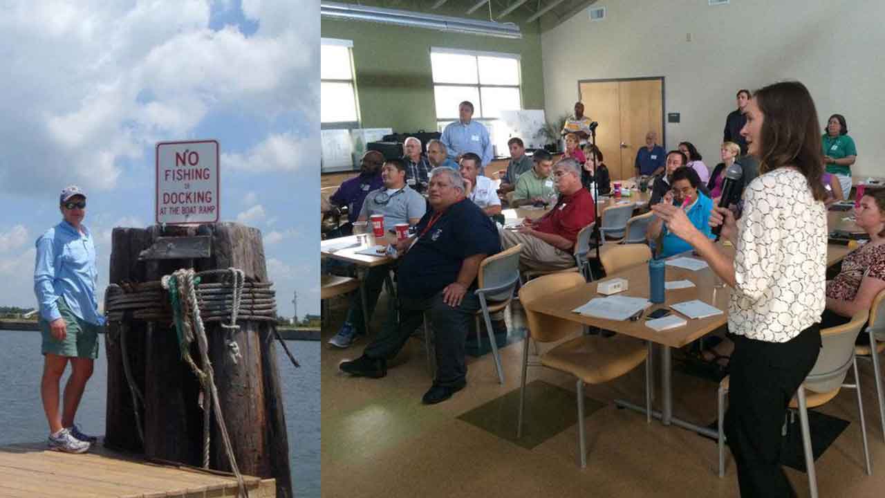
This website was produced in response to stakeholder requests for up-to-date data on how human wastewater affects water quality on the northern Gulf of Mexico coast and to provide tangible recommendations for how members of the local community can help improve water quality.
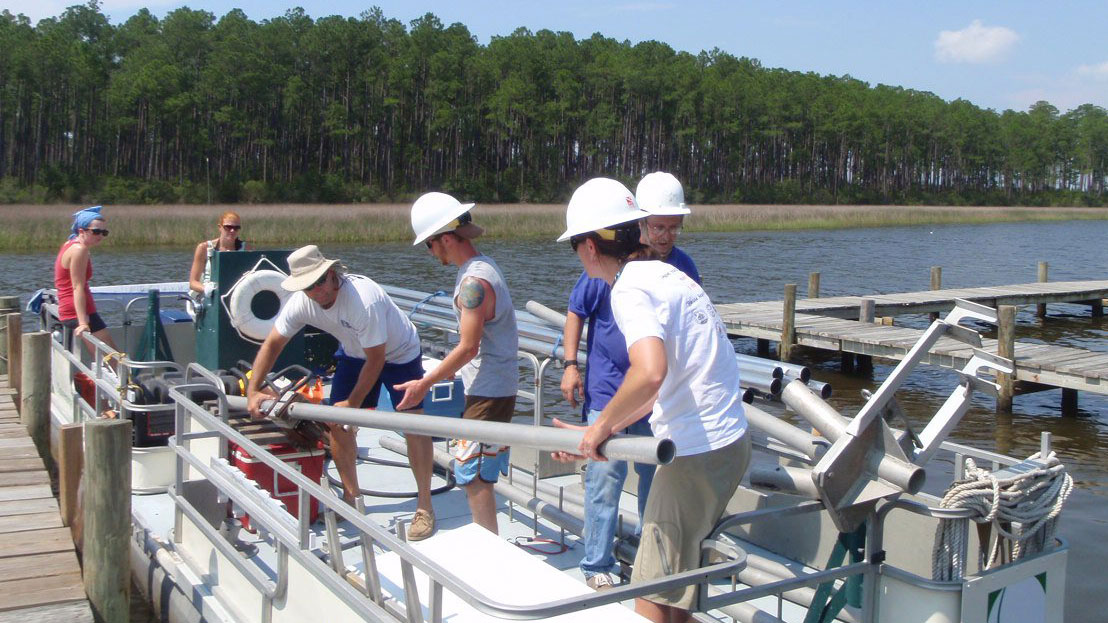
Data shared on this webpage were initially collected as part of a 4-year study to define how human activities and urbanization (land-use change) have affected water quality in the region, using the Grand Bay estuary and nearby waters on the Mississippi-Alabama coast as a representative system. This information is now being applied in the Mobile Bay and Dog River Watersheds.
This webpage is meant to be a living resource for end-users, and we welcome feedback on improvements and additions to our content. Please email us with your suggestions.
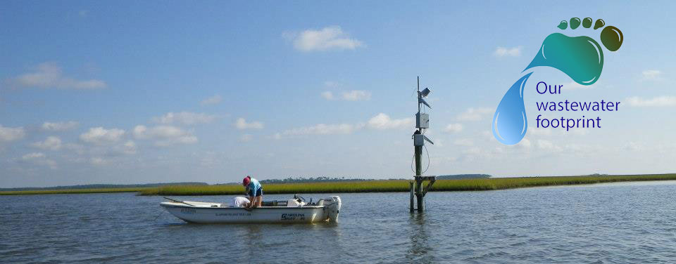
Our Human Footprint
Changes in land use during the past 60 years or more have affected water quality by increasing the delivery of land-derived nutrients to coastal estuaries.
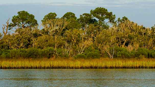
Grand Bay Estuary System
Grand Bay is one of the largest estuaries on the Mississippi-Alabama coast, in one of the most underserved regions in terms of science, technology, and education.
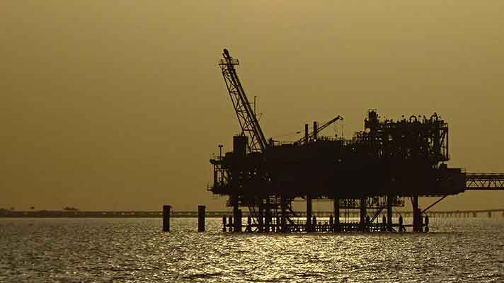
Mobile Bay/eastern Mississippi Sound System
Mobile Bay comprises mos tof the Alabama coast and is one of the largest freshwater discharges in the United States.
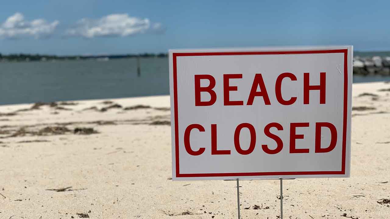
What YOU Can Do
Whether you live, work, or play on the water, set goals to improve water quality in your community, plan ahead, and take action to ensure a future with clean water. Report concerns.
Take It With You
We invite you to use the attached edutainment packet and fact sheet to add value to your ecotour business, in your classroom, or at your agency.
Resources
In this section, you will find links to important resources, including monitoring data for your area, links to publications, and details about our project partners.
Alabama MST Metadata Clearinghouse (MST)
A compilation of metadata from various source tracking and water quality monitoring efforts in Alabama to facilitate data sharing between our community partners.
Funding sources
The large-scale multidisciplinary research projects and the transfer of scientific data through the creation of this webpage were funded by the NOAA NERR Science Collaborative (NSC) for work in the Grand Bay Estuary system and the US Environmental Protection Agency (EPA) Gulf of Mexico Division for work in the Mobile Bay - eastern Mississippi Sound system.
- NOAA National Science Collaborative - Learn more about the core project here: Project Factsheet
- USEPA Gulf of Mexico Division - Learn more about the core project: Project Overview & stakeholders meeting 02/03/2022
These projects include data collection and development of educational materials and tools for the public and decision-makers to enhance water quality on the Gulf of Mexico coast. Products are designed to raise awareness of the positive and negative effects of land-use change for the public, community organizations and businesses, and decision-makers within the region. The materials use science-based information to reinforce the importance of reducing sewage and stormwater contamination, improving wastewater management, and implementing land use planning that takes into account its effect on water resources.