Expansion of MyMobileBay.com
Project Leader: Renee Collini, co-leader Dr. Brian Dzwonkowski
Project Details
NOAA RESTORE ACT Science Program - Expansion of www.mymobilebay.com for coastal Alabama resource management Project
Effective management of coastal estuaries requires real-time and historical knowledge of water quality such as salinity, temperature, dissolved oxygen, and turbidity. Unfortunately, many Gulf of Mexico coastal regions lack web-based tools that effectively integrate available water quality data so that resource managers and stakeholders can efficiently use incoming data to make information decision related to the marine environment (for example, closure of oyster harvesting areas).
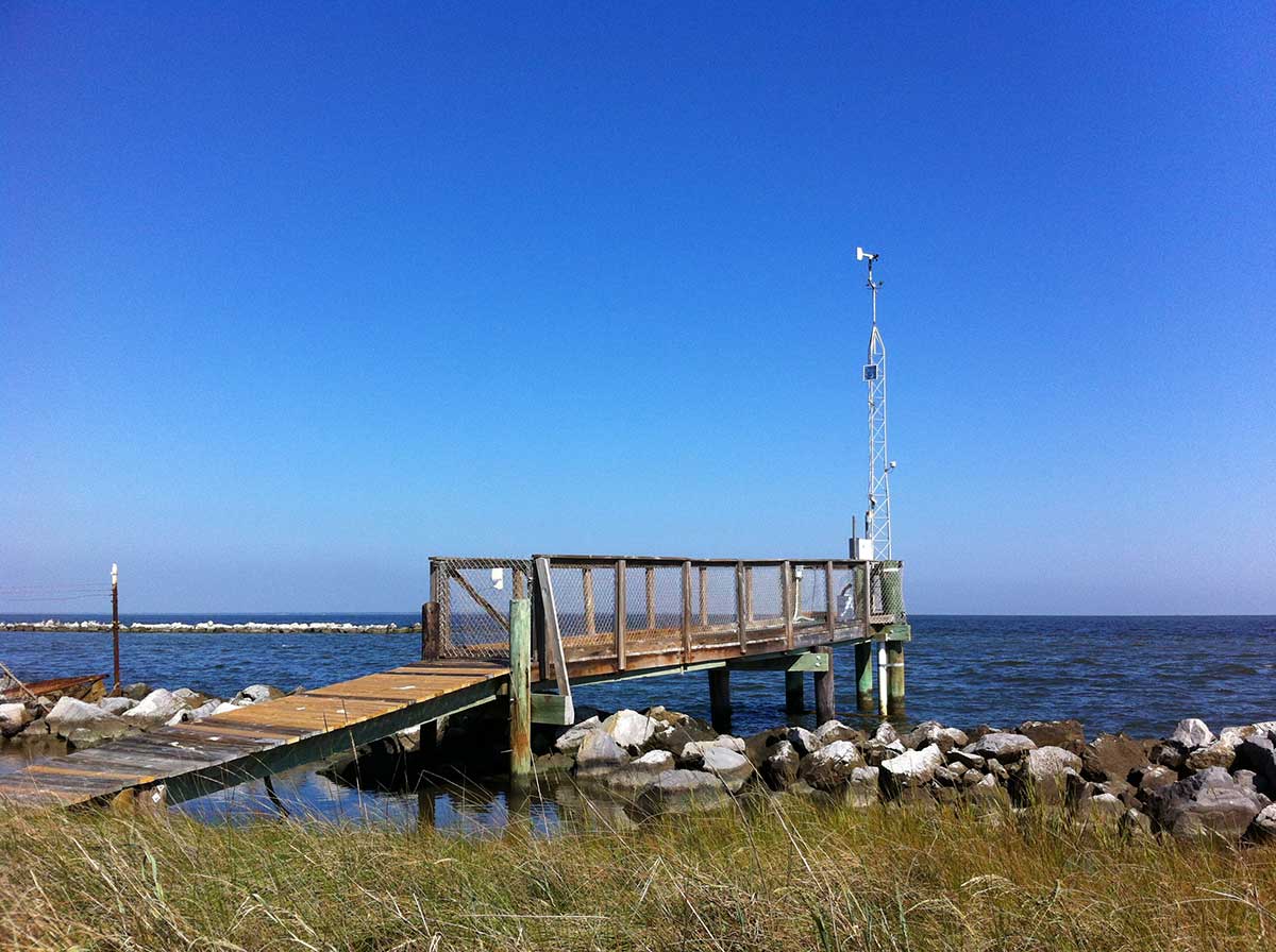
One such decision support tool is the Alabama Real-time Coastal Observing System (ARCOS) which provides high-quality, system wide, continuous real-time water and weather observations in a user-friendly web-based portal, www.mymobilebay.com.
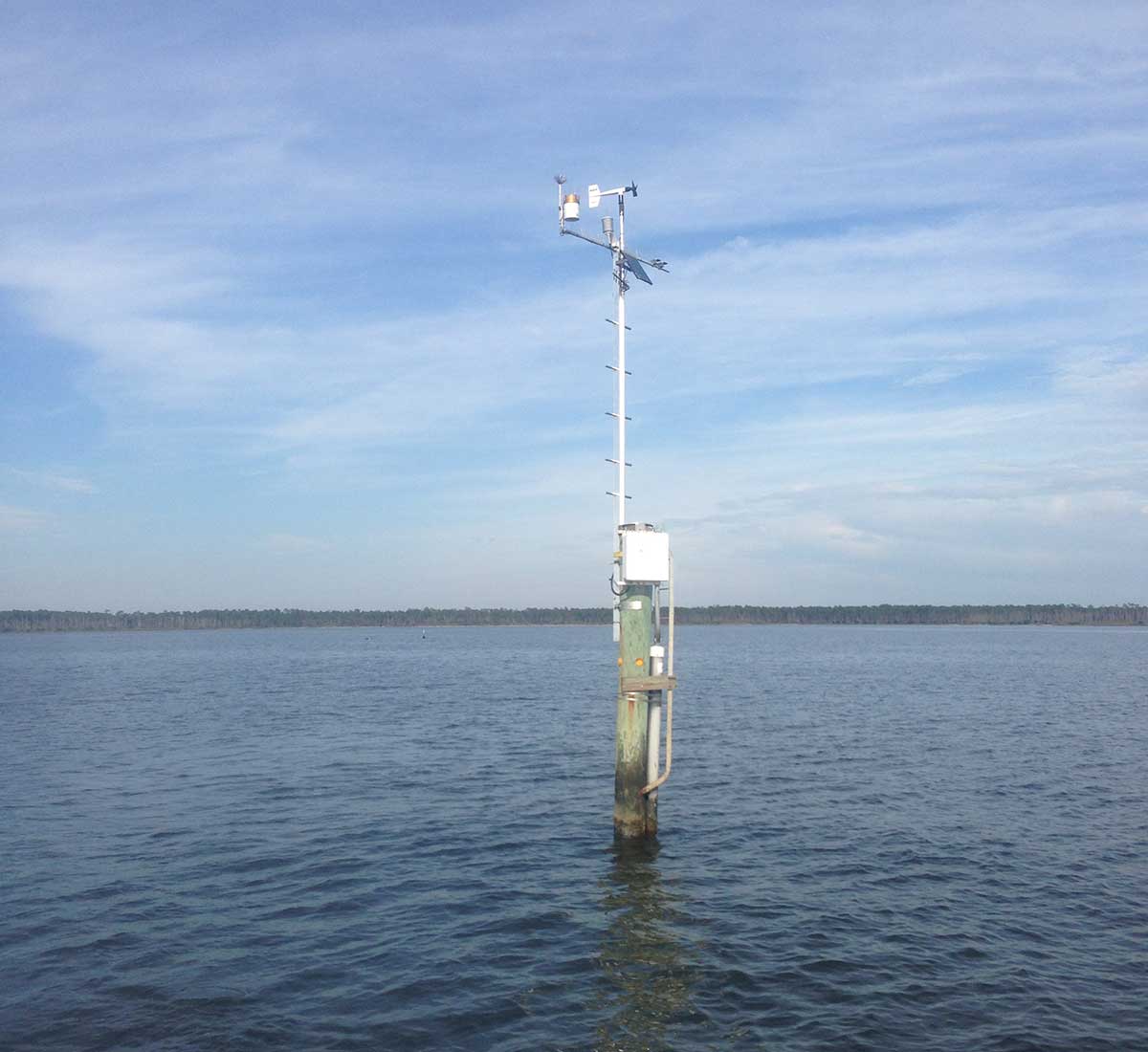
This project will enhance the usefulness of this system to environmental managers by expanding the number of water quality indicators that are measured as well as extending the network into the offshore coastal region adjacent to Mobile Bay. The improvements to the ARCOS network include upgrading four observation stations to enhance the system reliability as well as provide new real-time data on turbidity, and periodic sampling of total suspended solids (TSS), both key water quality indicators. In addition, the system will add real-time offshore measurements of salinity, temperature, dissolved oxygen by upgrading an existing data collection site (FOCAL mooring/site CP) that is ~9 nm south of Dauphin Island, Alabama.
This work will allow the continued utility of www.mymobilebay.com, a valuable resource for environmental managers as well as recreational and commercial users, who rely on these data for informed resource management including ensuring safe and efficient boating, fishing, and shipping..
Project Gallery