Researchers from the Dauphin Island Sea Lab joined an international team to develop the first global “BiteMap” revealing where the ocean’s consumers are most active. Although scientists have long known the areas where primary production via photosynthesis is most often occurring, where consumers eat things and transfer energy through the food web is less well understood.
Secondary production is when animals grow new tissue after eating, and until now a global survey of the areas where secondary production is highest was unknown. The BiteMap maps where consumers eat the most, thereby documenting secondary production in the oceans.
The Marine Global Earth Observatory (MarineGEO), a worldwide partnership led by the Smithsonian, created the project to address energy transfer by examining consumption rates as well as the types of consumers present. From the southern tip of Australia to northern Norway and just inside the Arctic Circle, 42 underwater field sites spanning five continents were pinpointed.
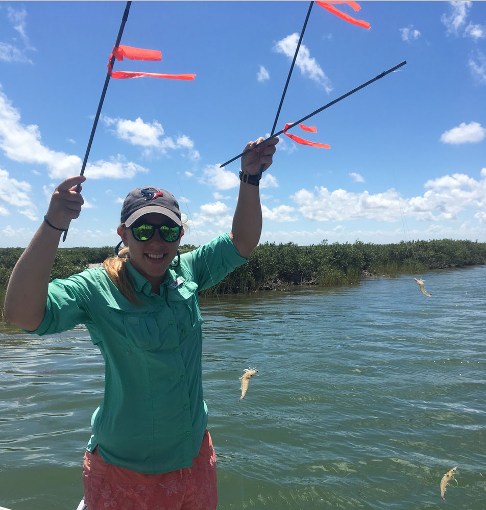
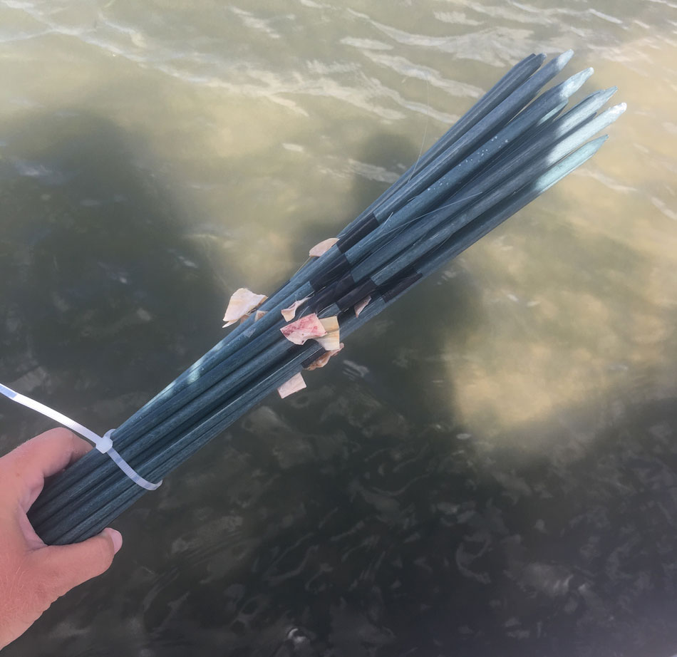
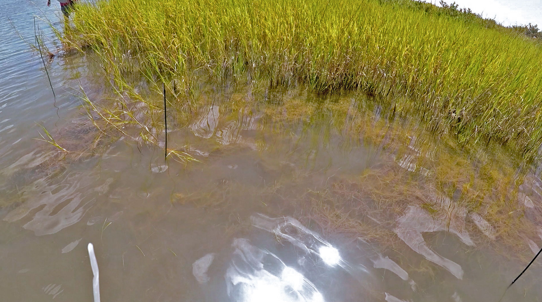
Dr. Lee Smee, DISL Marine Scientist and Chair of University Programs, and Meredith Diskin, a DISL/USA graduate student, focused on three field sites off the coast of Texas. Researchers at all sites deployed ‘squid pops’ to entice the appetites of fish and crabs. The handmade marine treats for marine fish and crabs consist of a piece of dried squid meat attached to a stick. Researchers then measured how many squid pops were eaten daily and surveyed the types of crabs and fish present. Although the design of the study was simple, having more than 70 researchers around the world participating in the study and performing the same methods and roughly the same time allowed for the global study to take place.
Before the data came together, the team thought they would find the highest predator activity near the equator, because warmer temperatures generally increase animal activities. However, the study found that consumer diversity and consumption was highest at the temperature/tropical boundary, which makes sense given that conditions at these latitudes are favorable to a wide variety of animals.
The Proceedings of the National Academy of Sciences published the findings, Climate drives the geography of marine consumption by changing predator communities, in late October.
This work offers researchers another view of how environmental changes, such as rising temperatures, can influence biodiversity. MarineGEO looks to expand this project to the rest of the world’s coasts.
To learn more about the project and the teams involved, read the Smithsonian article here.
The Dauphin Island Sea Lab will continue to partner with the Smithsonian to study global patterns of biodiversity and environmental changes in the ocean. Global partnerships such as MarineGEO are important for capturing global patterns in times of unprecedented environmental changes.